
In the period 1991-1994 I made a photographic story about Amsterdam Old-West. As a street photographer I do this again, but now within the boundaries of ‘Old Amsterdam’. This part of Amsterdam is everything that lies within the Singelgracht.
Street photography
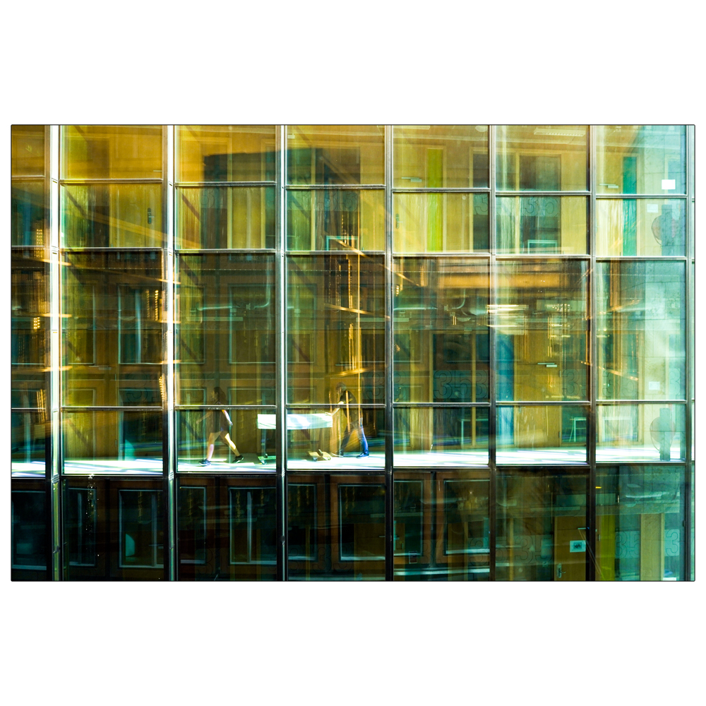
Oosterdokskade, Openbare Bibliotheek Amsterdam, augustus 2024
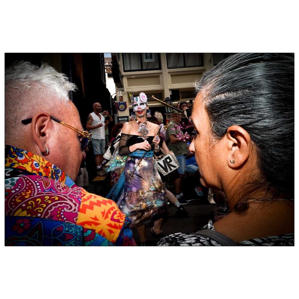
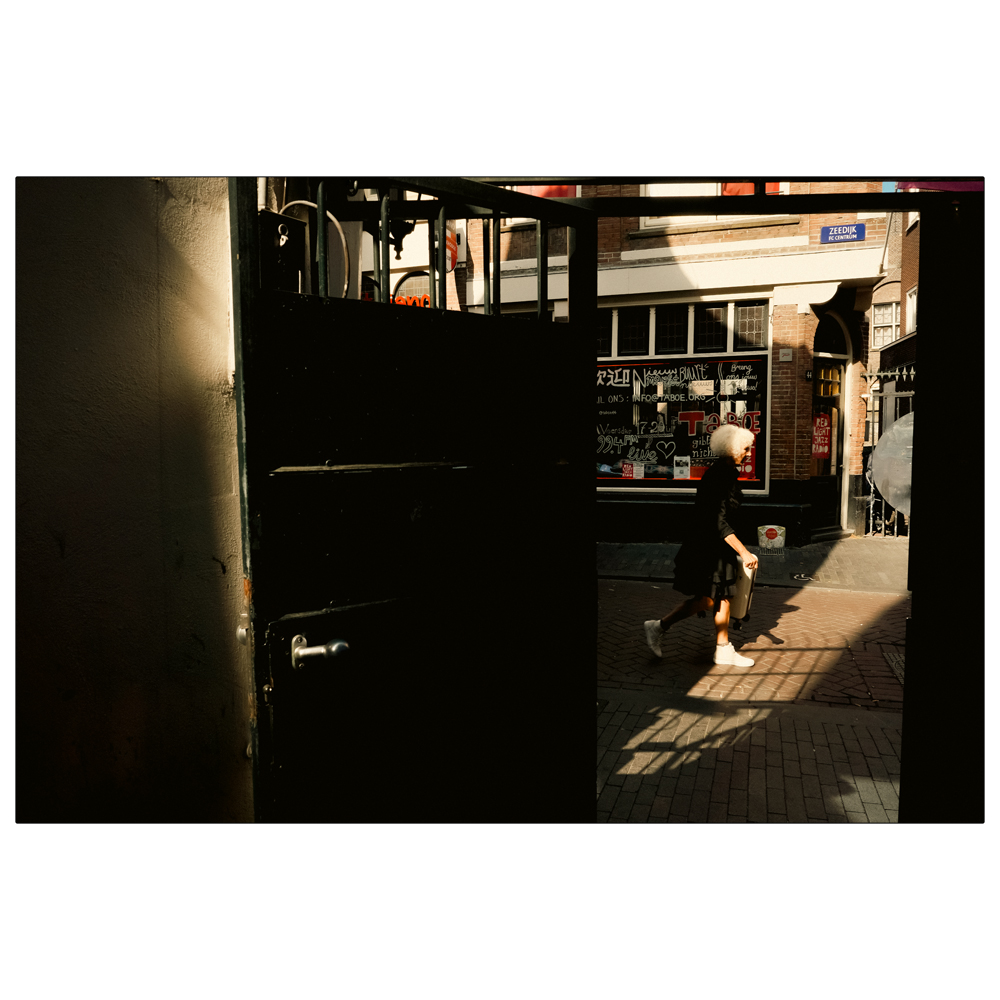
Zeedijk, Hartjesdag, augustus 2024
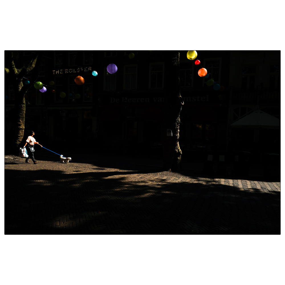
Thorbeckeplein, augustus 2024
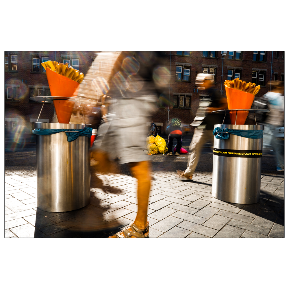
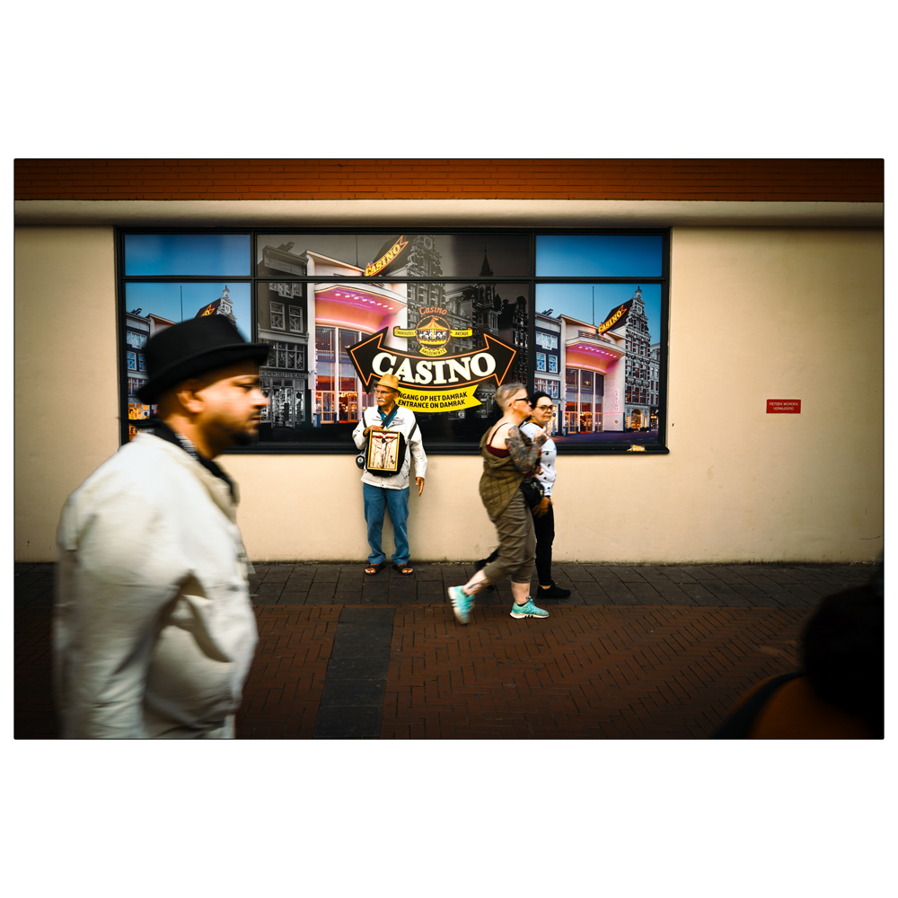
Damrak, augustus 2024
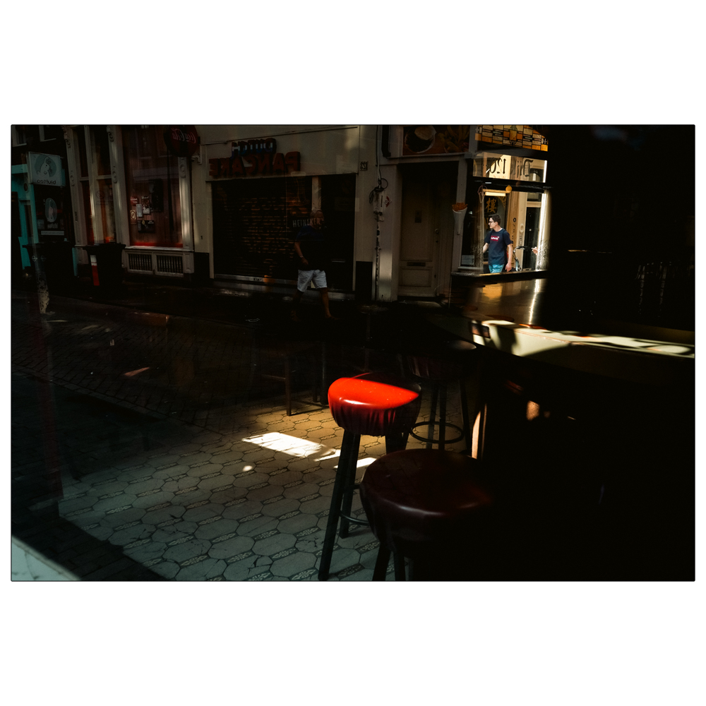
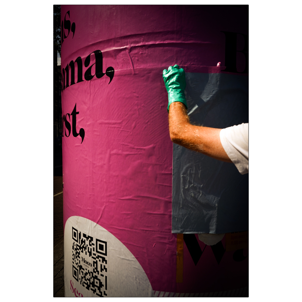
Warmoesstraat, augustus 2024
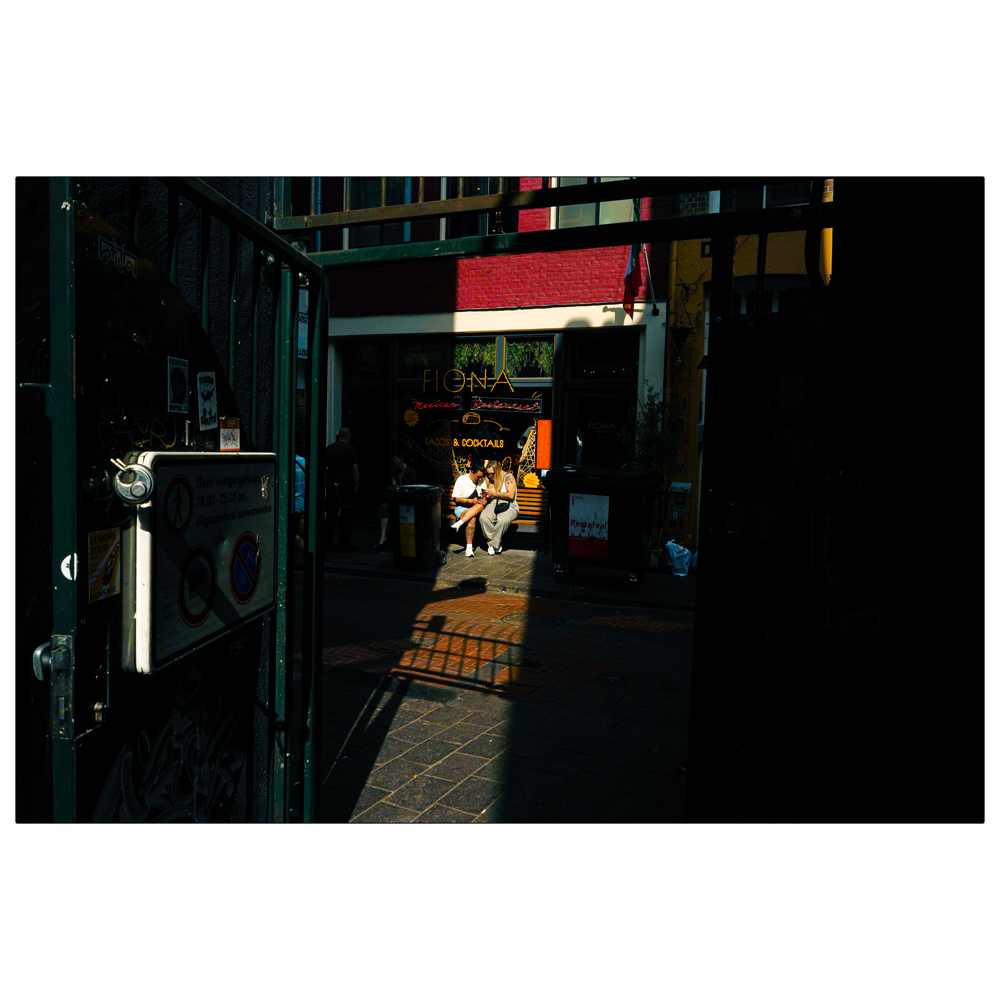
Zeedijk, augustus 2024
Nieuwendijk, augustus 2024
Zeedijk, Cafe 120, augustus 2024
Rokin, juli 2024
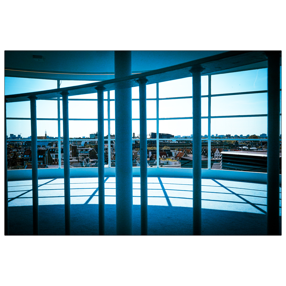
Leidsestraat, Metz, Rietveldpaviljoen, juli 2024
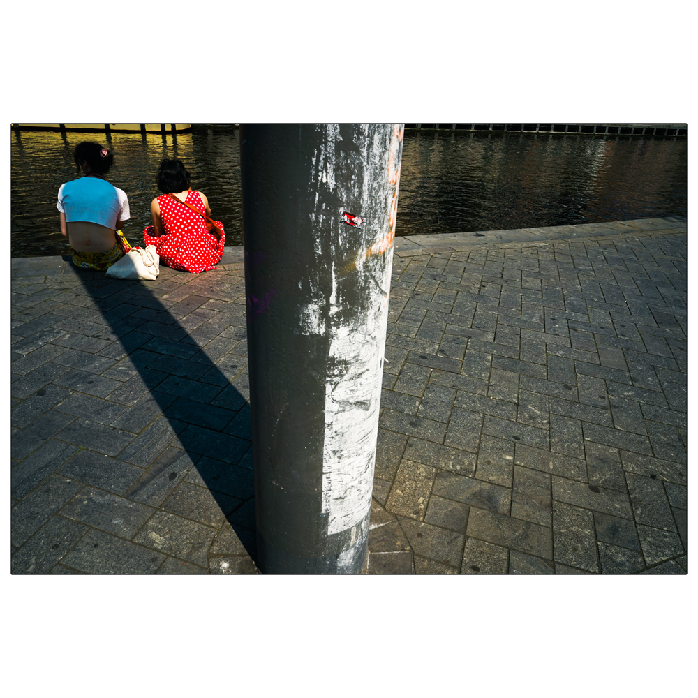
Rokin, juli 2024
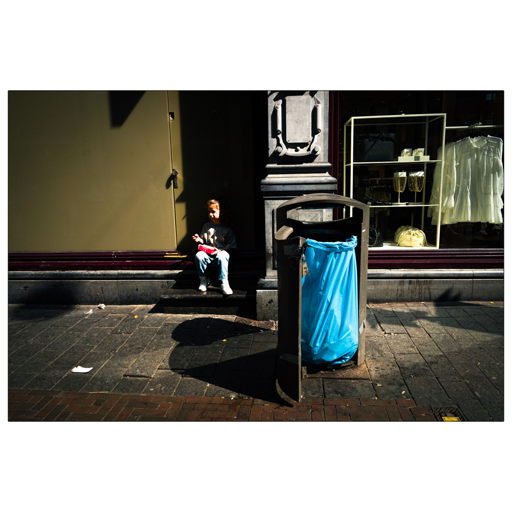
Nieuwendijk, juli 2024
The Singelgracht is the waterway that borders the entire Amsterdam Center and flows along the Nassaukade, Stadhouderskade and Mauritskade. The name only refers to the canal, not the adjacent built-up quays. Partly for this reason the name is less known than those of other canals. On the outside of the canal are the Nassaukade (west), Stadhouderskade (south) and Mauritskade (east); on the center side the Marnixkade, Leidsekade, Nicolaas Witsenkade, Sarphatikade, Huddekade, Spinozastraat and Alexanderkade. (source: Wikipedia). The Singelgracht was created during the fourth expansion of the canal belt (the Fourth Explanation) in 1663. At that time, the 5 meter high city wall was extended over the Amstel to the east. There was a 60 meter wide canal around this city wall: the Singelgracht. Ultimately, this created an 8-kilometer city defense structure with 26 pentagonal strongholds and eight gates: ‘the Buitensingel’. This striking semi-circular wall marked the boundaries of Amsterdam until the end of the 19th century